The Whitsunday Islands from the Air
Which Whitsunday islands a scenic flight from Airlie Beach crosses, island by island: Daydream, Long, Hamilton, Whitsunday Island with Whitehaven Beach, Hook and Hayman.
The Whitsundays are a cluster of islands between the Airlie Beach coast and the outer reef, and an hour’s scenic flight crosses them on its way out to the reef. Fly Australia Charter’s Airlie Beach: Whitsunday Islands & Heart Reef Scenic Flight names Long Island and Hayman Island on its route, with Whitehaven Beach and Hill Inlet on Whitsunday Island, and gives the islands about 15 minutes of the hour. It is US$240 a person (checked November 2026).
The flight leaves an airfield near Shute Harbour, ten minutes by courtesy bus from Airlie Beach, and the nearest islands are only a few kilometres offshore.
The islands on one map
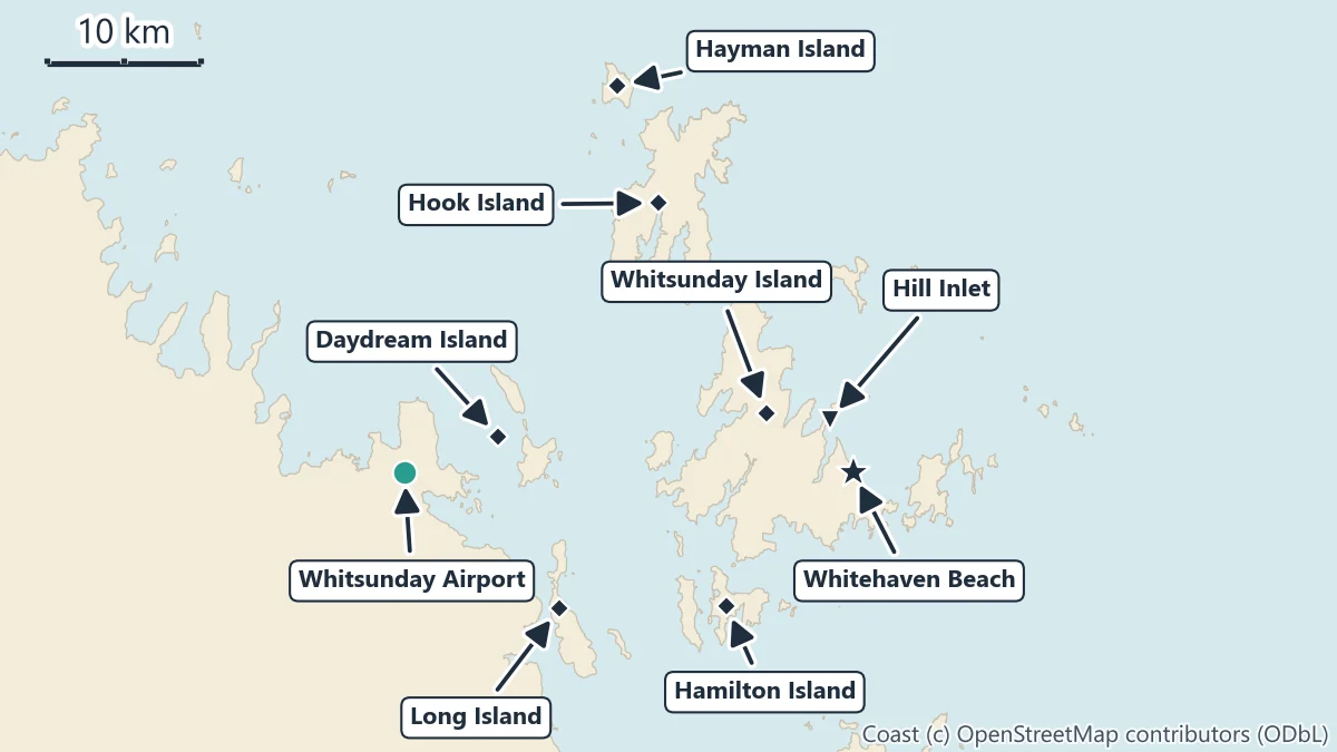
Queensland Parks describes the Whitsundays as the peaks of drowned mountain ranges, cut off by rising seas, in a Cumberland Island Group of more than 90 islands. Six of them matter for a scenic flight from Airlie Beach. The distances below run from Whitsunday Airport to the point marked on the map, in a straight line.
Close to the mainland: Daydream and Long Island
Daydream Island is the nearest, about 6 km from the airport. It is small and sits just off the coast north-east of the airfield; some ferry sailings between Port of Airlie and Hamilton Island call there. None of the flights names it on its route.
Long Island, about 13 km away, is the long, narrow island lying along the mainland coast to the south. Fly Australia Charter’s route names it.
Hamilton Island
About 23 km south-east, Hamilton Island has its own airport and marina. Tourism Whitsundays lists scenic flights from Hamilton Island as well as from Airlie Beach, but none of the flights on this site takes off there: the one-hour flight from Whitsunday Airport does not pick up from or depart from Hamilton Island, and you join it from Airlie Beach.
Whitsunday Island, Whitehaven Beach and Hill Inlet
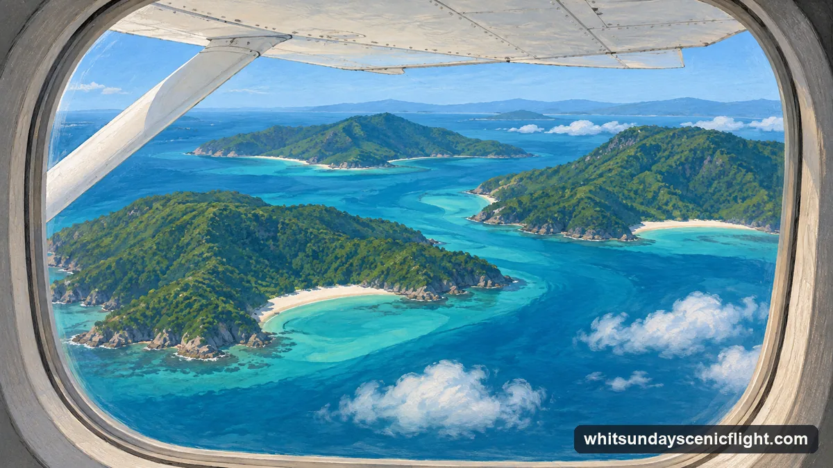
Whitsunday Island, about 24 km out, is the largest island on the map, and it holds the two places every flight names. Whitehaven Beach is on its south-east side, about 30 km east of Shute Harbour, a 7 km stretch of white silica sand (Queensland Parks). Hill Inlet is at the beach’s northern end, where the tide moves the shapes of blue water and white sand; the walking lookouts sit above Tongue Bay.
All three flights, and the flight on the Fly Raft day, name Hill Inlet. Fly Australia Charter gives Hill Inlet about 15 minutes of its own and makes several passes for photographs. Whitehaven and Hill Inlet from above goes into what the swirls look like from the air and when you need a boat instead.
The northern islands: Hook and Hayman
Hook Island, about 24 km away, lies north of Whitsunday Island across a narrow passage. Do not confuse it with Hook Reef, which Fly Australia Charter’s route also names: Hook Reef is out on the Great Barrier Reef, one of the reefs of the Hardy Reef group with Hardy, Line, Barb and Bait reefs (Reef Authority).
Hayman Island, about 29 km out, is the northernmost island on the map and the second island Fly Australia Charter names. Beyond the islands lies the outer reef: Heart Reef is 76 km from Whitsunday Airport in a straight line. The outer reef by plane covers that part.
Which flight names which islands
| Flight | Islands named on the route | In the air |
|---|---|---|
| Whitsunday Islands & Heart Reef Scenic Flight (Fly Australia Charter) | Long Island, Hayman Island, plus Whitehaven Beach and Hill Inlet | 60 minutes |
| Whitsundays & Heart Reef Scenic Flight (Ocean Rafting) | “the Whitsunday Islands”, Whitehaven Beach and Hill Inlet | 1 hour |
| Whitsundays & Great Barrier Reef Scenic Flight (Whitsunday Air Tours) | Conway National Park and Airlie Beach on the mainland, “the Whitsunday Islands”, Hill Inlet | 70 minutes |
GetYourGuide listings (checked November 2026). A listing that does not name an island may still fly over it.
You cannot choose a side of the plane on Fly Australia Charter’s flight: the crew seats passengers for weight and balance. Every seat is a window seat, and the pilot makes several passes at each place for photographs.
For the most islands named in one hour, and the reef after them, Fly Australia Charter’s flight is the one to book.
More from Airlie Beach
Flights and Island Days with Open Dates
Scenic flights, boat days and reef trips from Airlie Beach with live availability. Where each starts, what it includes and the cancellation terms are shown before you book.
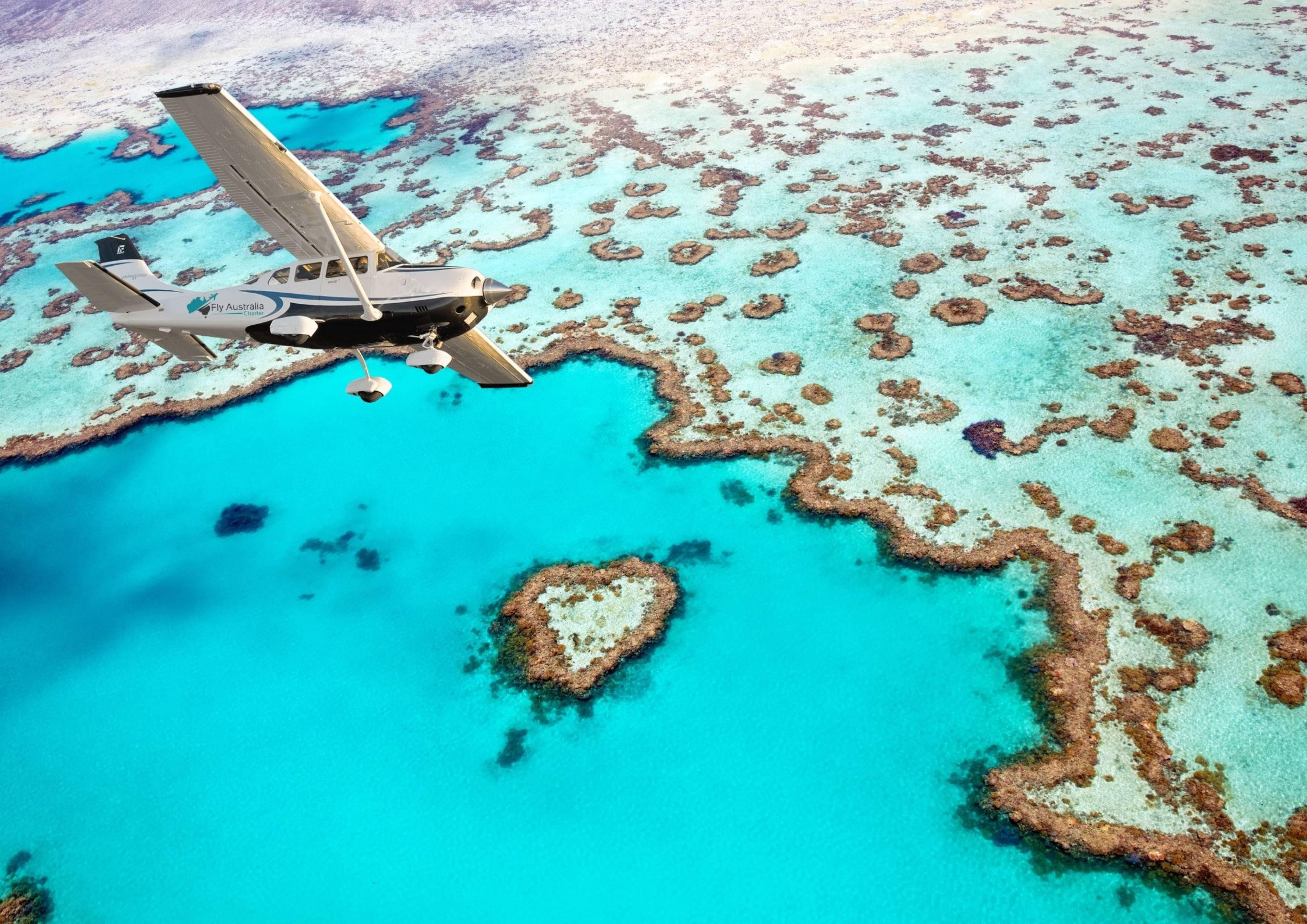
Over the Islands with the Pilot's Commentary
Fly Australia Charter's 65-minute flight names Long Island, Hayman Island, Whitehaven Beach and Hill Inlet before the outer reef, with a window seat for everyone.
Check times